PG Program in Highway & Infrastructure Design
This course offers comprehensive training in road and highway design using industry-standard software and international codes. Learners will explore the fundamentals of geometric design, pavement analysis, terrain modeling, and infrastructure visualization. The program integrates tools like AutoCAD Civil 3D, InfraWorks, ArcGIS, Twinmotion, and Tekla Structures to develop real-world roadway projects. Emphasis is placed on BIM workflows, GIS integration, 3D rendering, and bridge modeling. Designs will be guided by Indian IRC and MORTH standards, as well as American AASHTO and FHWA guidelines, ensuring global competency.
Program Duration
6 Month-Online
Upcoming Batch
21-02-2026
our goal is to bridge the gap between engineering education and industry expectations by delivering hands-on, practical, and future-ready training programs. We aim to empower civil engineers, architects, and construction professionals with real-world skills in structural design, BIM, project execution, and software mastery, enabling them to become leaders in modern infrastructure and high-rise development.
Who can join this course.
To empower the next generation of civil and structural engineers through advanced, industry-oriented training, cutting-edge software integration, and global standards. We are committed to delivering excellence in education, fostering innovation, and bridging the gap between academic knowledge and practical engineering challenges to shape a more resilient and sustainable built environment.
To be a global leader in structural engineering education and innovation, driving transformation in the construction industry through technology, research, and skilled professionals equipped to design the skylines of tomorrow
Professional, Impactful & Job-Oriented
100%
Live session with e-learning support
80+
Learning Hour
4+
Industry relevent software
5+
Live Projects
learning Highway and Infrastructure Design
Course Objective
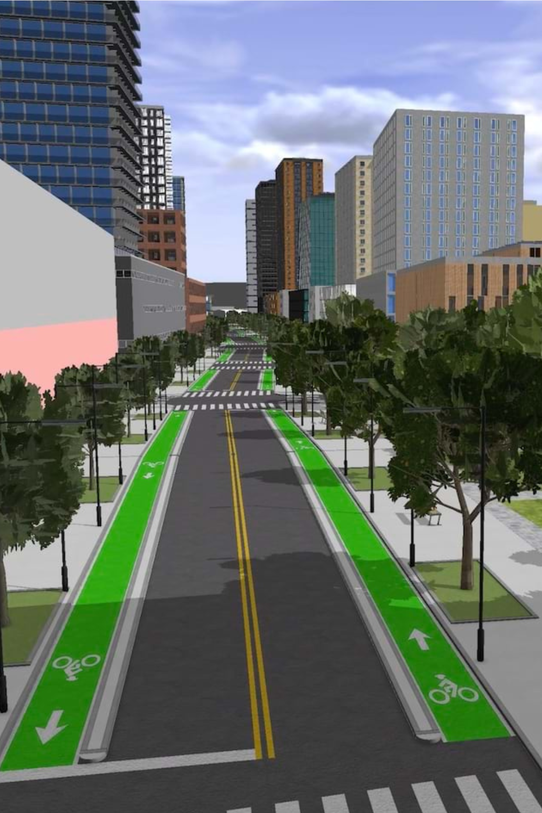
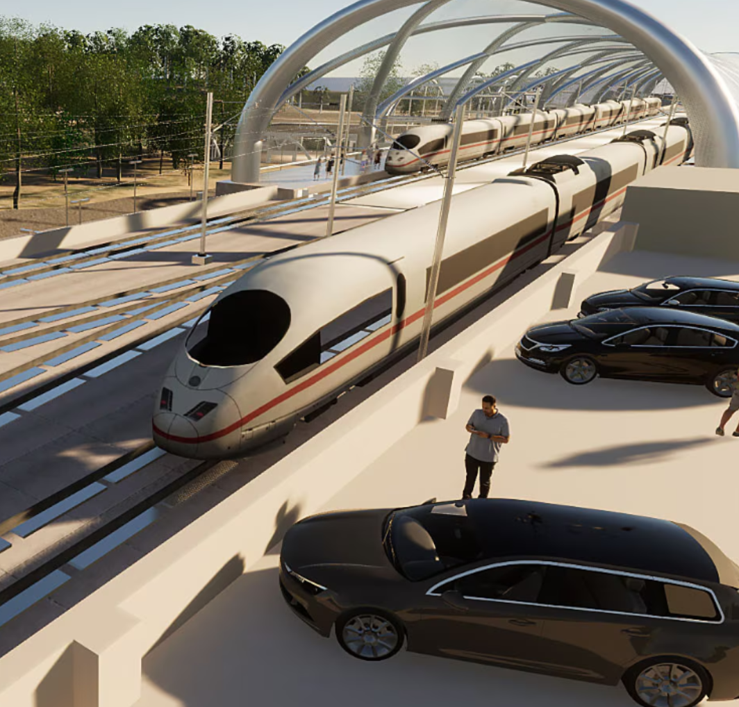
This course is designed to introduce users to the concepts of Building Information Modeling (BIM) with a focus on infrastructure design using Autodesk InfraWorks. Participants will learn the basic features of InfraWorks, including creating new models via Model Builder, setting coordinate systems and units, and integrating GIS data for accurate visualization. The course covers conceptual design of roads, bridges, tunnels, railways, and water features, along with land coverage and terrain styling. Learners will add essential design elements and perform feature analysis such as line-of-sight, area, and volume calculations. The program also teaches model sharing between InfraWorks, Civil 3D, and Revit, and guides users in creating high-impact visualizations and storyboards. By the end of the course, participants will understand the InfraWorks-centric bridge modeling workflow and the role of BIM in infrastructure projects, culminating in the completion of a conceptual road project with custom elements and quantity estimations.
Course Description
Candidates will learn the basic features of Infraworks, including fundamentals like setting up a project, modeling roads, bridges, tunnels, culverts, and drainage and road furniture. Exporting and importing the model to and from Civil to Infraworks. Analyzing Catchment area, traffic simulation and balancing cut-fill quantities. Creating custom road furniture styles. Calculating the road project quantities. Exporting presentation images and videos.
Software and Manual
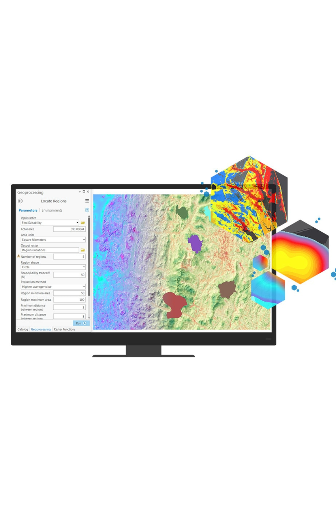
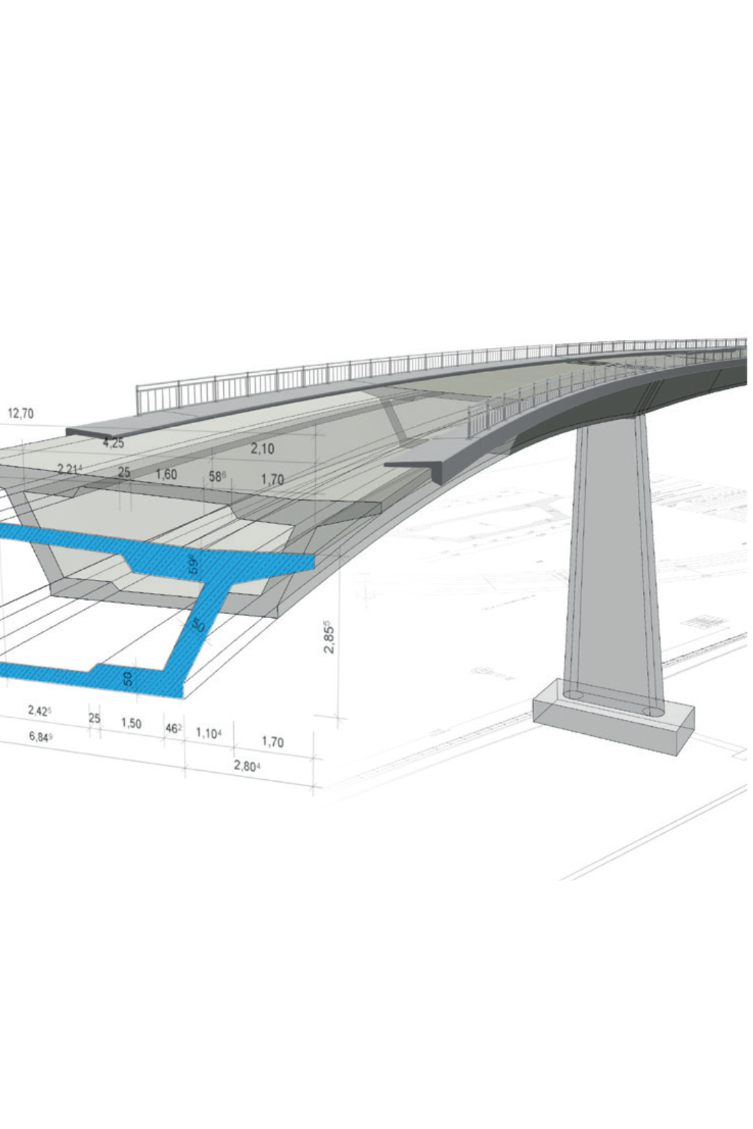
The course utilizes Autodesk Civil 3D for detailed civil engineering design, InfraWorks for conceptual infrastructure modeling and visualization, ArcGIS for spatial data integration and analysis, Twinmotion for 3D rendering and immersive animations, and Tekla Structures (Bridge Creator) for precise and constructible bridge modeling within a BIM workflow.
100+
Learner Enrolled
50%
Salary Hike
40%
Multinational Learner
4.8/5
Google Review
Excellent Carriculum
Introduction to Autodesk Infrawork
1Connecting to Data Sources
Creating new project from Model Builder
Stylize Data Sources
Create Model Elements
Analysising Model
2Collaborating with Others
Communicate the Design to Stakeholders
Roadway Design
3• Components roads
• Road design
• Creating junctions and roundabouts
• Create conceptual and geometric design of roads
• Sight distance analysis
• Modifying horizontal and vertical layouts
• Working with intersections
• Balancing cut and fill along the road
• Line of sight analysis
• Profile optimization
• Profile view
• Cross sections
• Super elevations
Bridge Design
4• Configuring bridges
• Add Bridge to road
• Precast I Girder Bridge
• Steel plate Girder Bridge
• Analysis and Quantities
• Export to Revit
Tunnel Design
5• Analysis and Quantities
Drainage Design
6• Automatic networks for road models
• Watersheds analysis
• Surface Layers
• Drainage layouts
• Create or Modify culverts
• Size network
• Terrain analysis
BIM and GIS value for Smart Cities.
7• Adding data to your Project.
• Conceptual design in Infraworks.
• Detailed design in Civil 3d.
• Smart data assets to GIS.
• Site Data verification and operation.
• Advanced data analysis in GIS.
Autodesk Civil 3D Integration • Export to Civil 3D • Import Civil 3D
8• Import Civil 3D
Traffic and Highway Engineering
9• Pavement
• Drainage
• Road signs & Road Marketing
• Traffic signals
• Safety Barriers & Road Design
• Lighting & emergency telephone
• Landscaping
• Service Area
• Toll Gate & operation center
• Structural
Introduction to Traffic Simulation
10• Running the simulation
• learn design guidelines for roads as AASHTOO
• Study and analysis the existing surface
• Roads design criteria as AASHTO
• Intersections design guidelines by AASHTO
• Design of 3-leg intersection
• Design of 4-leg intersection - Roundabout
• Interchanges design criteria as AASHTO 2011
• Design and modelling of Main Road, Cross road and Bridge
• Design and modelling of Ramps, loops and accelerations lanes with tapers
• Traffic analysis and simulation
• Study the interface of the program Infra-works
Modelling and Design as per Code proposal
11• How to design the initial design and put more than one design proposal
• Adding roads, people and buildings to the project
• Designing parking spaces and public location
• Adding and preparing new elements for the project
• Standards of road design according to code AASHTO
• Design of stations and bus stops on the side of the road
• Studying the elements of road protection.
• Design criteria for surface intersections according to AASHTO
• Modeling and design of intersections
• Modeling and design roundabout rotors
• Design criteria for surface intersections and interchanges according to AASHTO
• Modeling and design of surface intersections interchanges
• Study and modeling traffic
• Calculation of quantities for cutting and filling and all elements of road
• Simulate drainage systems, bridges, watersheds, and slopes.
Conceptually modelling techniques
12• Conceptually and precisely design parcels, roads, lakes, rivers, and buildings.
• Build models automatically from maps using Infra-works Model Builder option.
• Design intersections, road widenings, and diverse road cross-sections.
• Master both conceptual and detailed design using Civil 3D and Infra-works together.
• Create and manage points, surfaces, and alignments for civil engineering projects.
• Perform advanced grading techniques and site development using feature lines.
• Conduct watershed analysis and manage drainage systems within Civil 3D.
• Calculate work quantities and generate mass diagrams for accurate project management.
• Design and edit horizontal and vertical alignments, including profiles and corridors.
• Generate and manage pipe networks, including setting properties and creating detailed reports.
• Create professional presentations with labelled views, templates, and layout plans.
Project Practice
13• Modelling your project’s existing environment, incorporating survey-grade 2D/3D details and GIS data.
• Designing roads, bridges, drainage, and more, incorporating engineering principles.
• Analyzing your model, to make better decisions for sight distance, flood simulation, and more.
• Show your designs in a realistic environment by creating high-impact visualizations and videos using storyboards.
Download Full Sybullash
Master 6 Software Tools
Typical project taken in program
We belive in learner review
We believe in the power of learner feedback to shape, improve, and inspire our programs

Mr. Avinash Urkude

Mr. Kato Emmanuel

Mr. Mojeed Adesina

Mr. Krishna Sharma

Mr. Hugo Henrique

Mr. Sayandeep bhattacharjee

Mr. Vishnukant Dwivedi

Er Avdhesh Negi

Mr. Ishan Nagar

Miss. Aurora Cako
Get certified as Professional Engineer
Enroll Today
Be a part of India’s top course provider, let’s start your application now!
Total Program fee
INR 65,000/-
Book your seat with INR 10,000/- only
Structurex Course benefit!
Frequently Asked Questions
Why the course is Month Long?
How much time reuired in a week?
👉 Each session is 2 hours
👉 Total: 6 to 8 hours/week of guided learning
Self-practice & assignments:
👉 Average 8 hours/week for project work, practice, and software.
Is this course live or recorded.
Do i need pre-knowldge to join this course.
What is the software included?
I dont have software installed on my pc. Can i still attend the course?
In which language course will deliver?
Is their any shorter version of this course?
How Can i solve my queries?
Do i get placement and career assistance after course complitation?
Is their gaurantee of Placement ?
From mock interviews to portfolio-building, we prepare you for the real industry.
Learn. Build. Get Hired — with StructureX.
What kind of certificate i will recive after course.
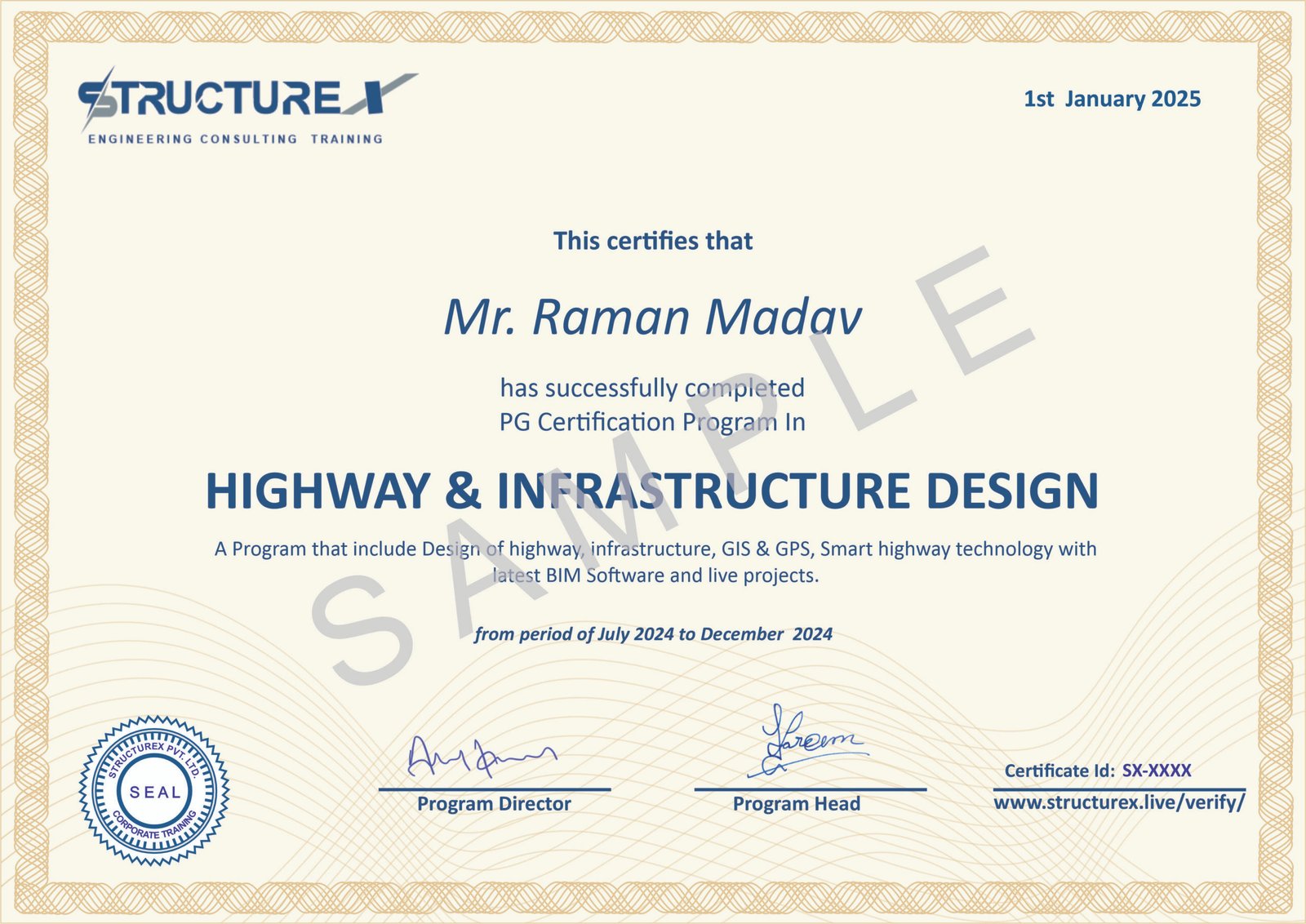
✅ Program Completion Certificate (STRUCTUREX PVT. LTD.)
Issued after completing all course modules and assessments.
✅ Internship Certificate
Recognizing your practical learning and hands-on software training during the course.
✅ Project Experience Certificate (Only upon successful submission of project work)
Awarded when you complete and submit an approved real-world project as part of the program.


